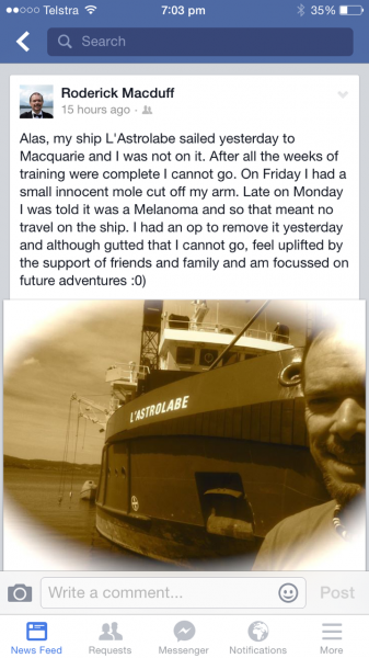
Rod, VK6MH/GM4AWB will be active from Macquarie Island (IOTA AN-005) starting early November 2014 as VK0MH.
He planning to be active on all HF Bands.
More information will be available later.
Macquarie Island – Penguin Paradise
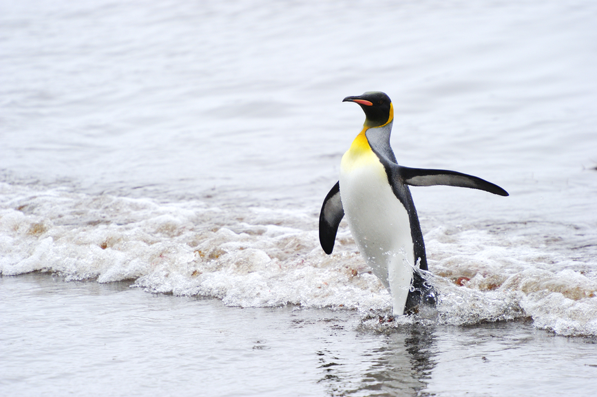
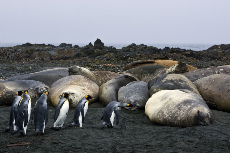
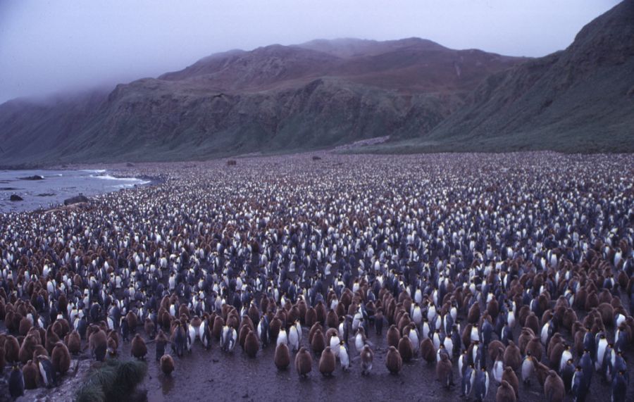
If you’re a royal penguin, Macquarie Island is home-sweet-home. It is the habitat for the entire population of this species, who are accompanied by a number of seals, seabirds, and other animal life. With an average daily temperature of from 40.8oF (4.9oC) to 47.8oF (8.8oC), and a rocky terrain that includes no trees, but some natural grasses and moss, the island is hardly attractive to habitation by humans. Indeed, in 1822, the captain of a sailing ship, the Mariner, declared that it was a “most wretched place, “and that no civilized creature would live there. But today the island is a draw for scientists as a base of operations for research in the fields of meteorology, biology, geology, and other scientific studies.
History
Discovered in 1810 by Australian seal hunter Frederick Hassel borough, Macquarie Island was named for the governor of New South Wales, Lachlan Macquarie. Macquarie Island is a sub-Antarctic island about 930 miles southeast of Tasmania, and is volcanic in origin. Due to geologic activity, the island is the only place in the world where rocks from the Earth’s mantle are exposed above sea level.
Halfway between New Zealand and Antarctica in the southwest Pacific Ocean, Macquarie Island is considered part of Tasmania. When discovered by Hassel borough, he noted that there was a wreck “of ancient origin” on the island. It was thought that there may have been Polynesian travelers or some other visitors to the island prior to 1810. After its discovery, the seals and penguins on Macquarie Island were slaughtered almost to extinction by hunters from 1810 to 1819.
As the cloudiest place on earth, and with an annual rainfall of 38.11 inches, the gloomy atmosphere on the island does not recommend itself to tourism or travel. Even the administrators of the Australian colonial government in the 1820s considered Macquarie Island too harsh an environment for the establishment of a penal colony. However, there was interest from scientific expeditions which collected specimens on the island. Russian, American, and New Zealand expeditions visited the island, as well as British Royal Navy explorer Robert F. Scott and polar explorer Sir Ernest Shackleton.
The first map of Macquarie Island was produced in 1820 and defined its geographical position. The island was featured in a 1912 book, “Voyages and Wanderings in Far-off Seas and Lands,” about a schooner which was wrecked and its crew marooned on the island for 4 months. Macquarie Island was transferred by New South Wales to Tasmania in 1890. From 1911-1914, the island was a base for the Australasian Antarctic Expedition, then a meteorological station from 1911-1915. In 1933, it was declared a wildlife sanctuary, and in 1948, the Australian National Antarctic Research Expeditions (ANARE) established its headquarters there. It was later declared a State Reserve in 1972 and a World Heritage Site in 1997.

Lodgings
Macquarie Island houses around 40 people (members of scientific expeditions) during the summer season, and approximately 14 during the winter months. The Australian Antarctic Division (AAD) established a base, the Macquarie Island Station on the northern end of the territory on a narrow isthmus. There are over 30 buildings that serve as scientific research quarters, surgery, storage, kitchen, communications center and powerhouse for the station. Four buildings serve as living quarters for scientists and support staff:
- Southern Aurora Donga – Erected in 1958, this donga (temporary, moveable dwelling), is called The Beach House and consists of sleeping cubicles with bunk beds.
- Garden Cove – Built in 1969, there are 8 larger rooms, a laundry, and 2 dark rooms.
- Hasselborough House – An 11-room house with bathrooms and laundry facilities.
- Cumpston’s Cottage – This 2-story prefabricated house constructed in 1995-96 houses an office, as well asquarters for the station leader, chef, and doctor.
The first map of Macquarie Island was produced in 1820 and defined its geographical position. The island was featured in a book, written in 1912, “Voyages and Wanderings in Far-off Seas and Lands,” about a shipwreck and a crew marooned on the island for 4 months. From 1911-1914, the island was a base for the Australasian Antarctic Expedition, then a meteorological station from 1911-1915. In 1933, it was declared a wildlife sanctuary, and in 1948, the Australian National Antarctic Research Expeditions (ANARE) established its headquarters there. It was later declared a State Reserve in 1972 under the Tasmanian National Parks and Wildlife Act of 1970, and a World Heritage Site in 1997.

Weather and Terrain
With steady precipitation but only about 856 hours of sunshine yearly, plants rarely grow over 1 meter in height on this sub-Antarctic island. Two main sections of plateau form the island, connected by an isthmus close to sea level, as well as several high elevations, Mount Elder on the northeast coastal ridge, and Mount Hamilton and Mount Fletcher in the south.
In its place atop a long ridge, the island lies along the eastern edge of two tectonic plates. Within the past 10 years, two major earthquakes have struck the island, a quake on December 23, 2004 that measured 8.1 on the Richter magnitude scale, and on April 12, 2008, a quake measuring 7.1 occurred on the Macquarie Fault.

Plant and Animal Life
Grasses, herbs, fen, bog, and feldmark (a cushiony plant that grows well on rock and exposed ground) are the most common vegetation on Macquarie. Two orchid species also thrive in this relatively inhospitable atmosphere. The plant life indigenous to this region is the type that is most adaptable to extremes of cold and exposure to wind.
Following its declaration as a wildlife sanctuary, the nearly depleted seal and penguin populations on the island returned to breeding in large numbers. The island is also home to about 3.5 million seabirds. However, during the seal hunting era, ships inadvertently introduced rats and mice to the island, and later cats to control the rodents. Rabbits were thereafter let loose on the island to breed for food. By 1972 the rabbit population had grown enormously and was damaging plant life on the island, sometimes causing soil erosion, and the cats were multiplying and devouring large numbers of seabirds. Several government projects have been introduced over the years to control the destructive animal populations.
Macquarie Island today is a small community of scientists and members of expeditions who study the land, its animals, and the elements. Although it is not an especially hospitable environment to humans, it suits the seals and penguins just fine.
Video Macquarie Island

